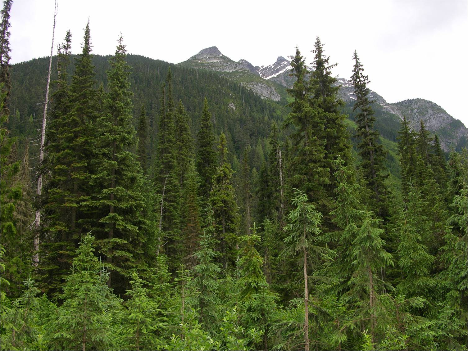
FORESTRY
Managing forests in today’s ever-changing world is becoming a challenging task. Now GIS technology plays an integral role in maintaining the forests. GIS technology offers details, which are helpful for forest vegetation, such as areas suitable for planting different trees, areas susceptible to soil erosion (landslides) and forest inventory. It also assists you to estimate the unhealthy vegetation, for example vineyards, orchards etc.
Calculation of the expanse of the forests, the degraded areas, deforestation, the extent of the wildfire and information about measures to mitigate it, determining the presence of a particular species of herb etc. are some of the major applications of GIS in Forestry sector. GIS also provides information regarding high quality geospatial crop/forest and symptom specific products.
