LiDAR
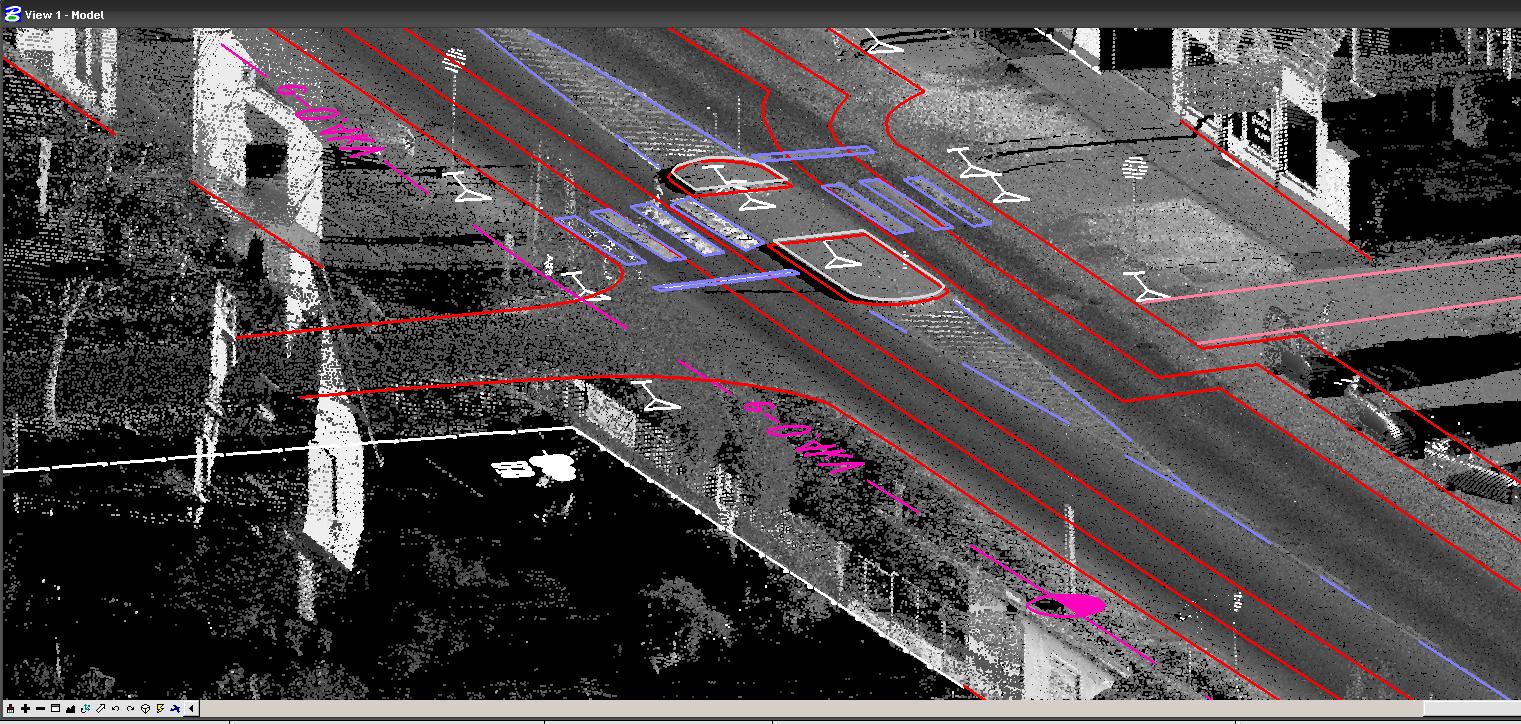
LiDAR (Light Detection And Ranging) is a revolutionary aerial laser scanning technology which enables height data from the land to be captured quicker, accurately and cost effectively.
LiDAR is the most cost effective method of capturing detailed height data both of the ground and features on the ground. It is ideal for generating digital elevation models and contours. Mapping infrastructure such as power-lines and corridors mapping for proposed pipeline, railway and road routes.
Geosieben provides full range of LiDAR data processing services. Geosieben’s experienced staff subjects the collected data to a rigorous quality control review process – including data density, terrain variation analysis, data anomaly filtering, review of 3D/perspective views and review against corresponding digital orthophotography (where available).
