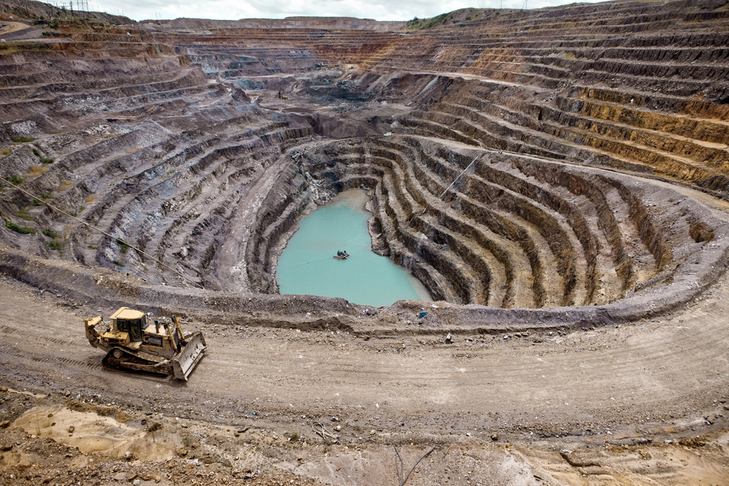
MINING
Mineral extraction operations involve unique logistical challenges. Geosieben provides our clients with geospatial services throughout the life cycle of a mine—during exploration and feasibility studies, ore extraction, mine closure and landscape restoration.
The deliverables we provide include digital elevation models, planimetric and topographic maps, orthophotography, Enterprise GIS, and remote sensing. Our variety of services and deliverables provides each client with the assurance that when a particular environmental, operational or regulatory need arises, we can produce the right solution to solve that need.
